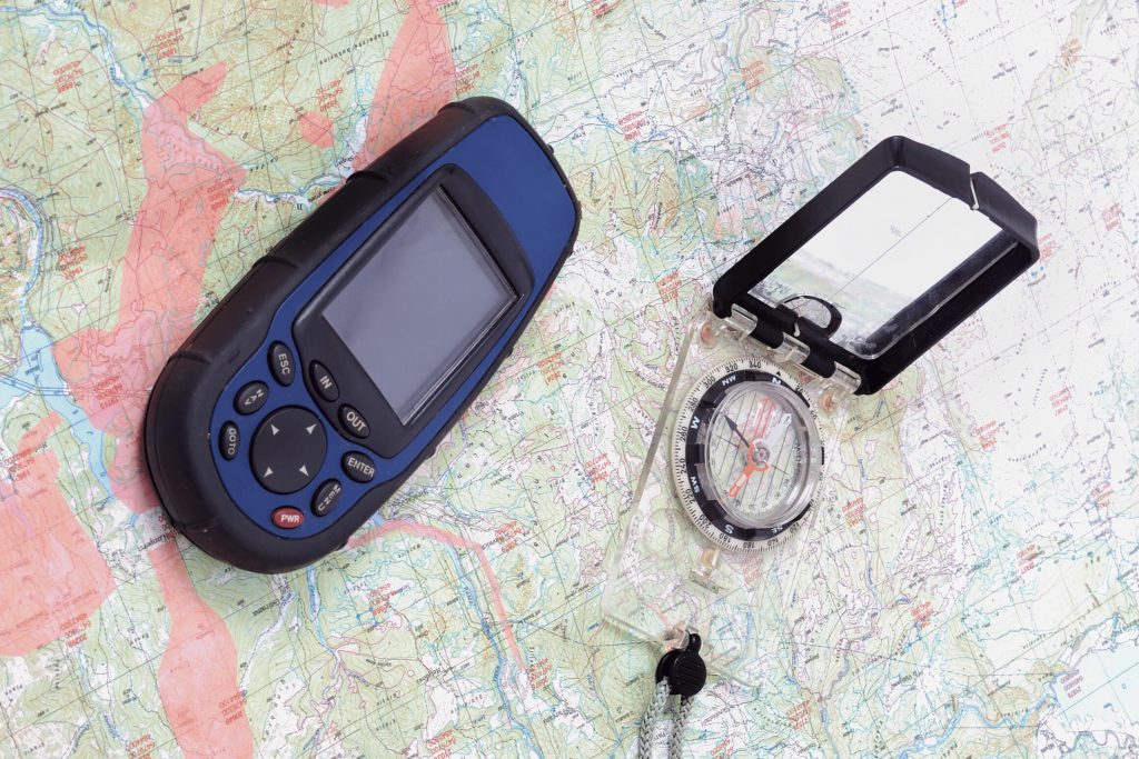
GIS / GEOMATICS SERVICES
THIS IS AVAILABLE VIA MULTIPLE PLATFORMS FOR HIGH AVAILABILITY AND DELIVERED VIA MOBILE, WEB OR ON-PREMISE
GeoData Acquisition (with the aid of Hardware, mobile and web tools/Apps)
Asset Mapping & Facility Mapping (Utilities)
GIS Project Implementation
Land Information Management System
GeoDatabase Design & Development
Location Based Services (LBS)
Surveying & Mapping (Small, Medium and Large scale)
3D Building & City Modeling
CADD and Data Conversion
BI & ANALYTICS
PROVIDES HISTORICAL, CURRENT, AND PREDICTIVE VIEWS OF BUSINESS OPERATIONS TO SUPPORT BETTER BUSINESS DECISION MAKING
Intelligence that helps businesses make informed decisions relating but not limited to Customer Lifetime Value Management, Data Monetization etc.
Customer Lifetime Value Management
BI Reporting and Dashboards
Master Data Management
CRM/Salesforce Analytics
Competitive Intelligence
Operations Analytics
Marketing Analytics
Data monetization
Data Warehousing
Data Governance
People Analytics
Customer Lifetime Value Management
BI Reporting and Dashboards
Master Data Management
CRM/Salesforce Analytics
Competitive Intelligence
Operations Analytics
Marketing Analytics
Data monetization
Data Warehousing
Data Governance
People Analytics
IT & Business Solutions
DELIVERING SECURE GEOLOGICAL DATA MANAGEMENT THROUGH AN INTEGRATED PLATFORM, ENABLING FLEXIBILITY AND COLLABORATIVE WORKING.
We are partnered with multiple industry leading companies, thereby giving us the edge to provide you with Software as a Service (Saas) cloud computing platform that provides GIS, web mapping, custom software solutions and services, and spatial data science tools.
Web-based Geo-IT Application Development
Enterprise Applications (CRM, ERP)
Vehicle Tracking & Fleet Management and Telematics Solutions
IT Procurement (Software & Hardware)
Biometrics Data Capture & Application
Software Solutions
Training Services – Business, Management & Technical Skills
Support & Maintenance/Technical Support Services

TELECOMS SUPPORT SERVICES
Technical Site Survey (TSS) and City Survey
Line of sight survey (LOS)
Design, Planning and Optimization of Transmission Links for Telecoms Projects
Terrain Profiling and Path Profile Study and Analysis
Production of Temporary Site Survey Reports (TSSR) & Final Site Survey Reports (FSSR)
Site Audit/As-built Validation for Telecoms Sites
Capacity Studies for Microwave Planning/Design (PDH/SDH/LTE capacity planning)
